Elevation gain: 54 meters
Elevation loss: 60 meters
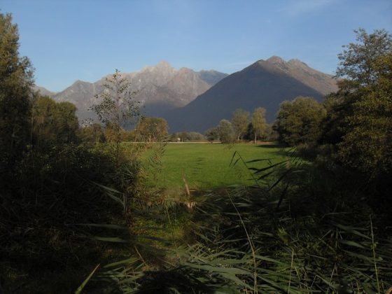
From Sorico we take the Nuovi Orizzonti cycle / pedestrian path until we cross the Mera river. We continue along via Fabbrichetta to the locality of the same name and turn right into via dell’Alberone. Immediately afterwards we turn left following the Percorso Naturalistico Sud in the Pian di Spagna nature reserve. We pass the Fortino d’Adda and follow the embankment of the Adda to the bridge of the SS 36. We cross the state road, paying close attention to traffic and take the cycle / pedestrian path of the Adda on the opposite bank. We soon arrive at the gates of Colico and continue along via Montecchio Nord and via Costituzione to arrive behind the railway station which we reach via the pedestrian underpass.
