Elevation gain: 616 m
Elevation loss: 752 m
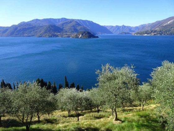
From the town of Vezio we descend along the mule track towards the lake, arriving at the paved road we follow it in the direction of the Varenna cemetery which we pass leaving it on our right. The path proceeds halfway up to pass the valley where there are the sources of the Fiumelatte, the shortest river in Italy. The Path of the Wayfarer proceeds in the middle of the woods along the highway and then climbs decidedly up to the Roslina and Coria huts, the highest point of the route. From here begins the steep descent that ends on the shores of the lake in Lierna.
